

Best National Park Apps for Planning and Visiting in 2026
Compare the best national park apps for maps, offline use, trails and audio tours, plus how to keep your park reservations in one itinerary.

On this page

The best national park apps are the official NPS App for maps, tours and park alerts, Chimani for guide-style content, a trail app such as AllTrails, National Park Trail Guide or onX Backcountry for hiking, and Just Ahead for audio tours while you drive. No single app does everything, so most visitors end up with two or three. Below we compare what each one does, what to download before you lose service, and how to keep your lodging, permits and timed-entry confirmations from getting scattered across all of them.
TL;DR
- Start with the free NPS App: it covers more than 400 park units, with offline downloads, maps, self-guided tours and accessibility tools.
- For serious hiking, add a trail app with offline maps and live location. Download the map region at home, not at the trailhead.
- For long scenic drives, an audio tour app like Just Ahead fills the gaps that signs and visitor centers leave.
- Park apps tell you what is in the park. They do not hold your reservations. Keep bookings, permits and entry confirmations in one shared itinerary.
- Check offline behavior, battery use and pricing in each app before your trip, because those details change.
Table of Contents
- How to choose a national park app
- The apps compared
- NPS App: the official starting point
- Chimani: guide-style content for every park site
- Trail apps for hikers
- Audio tours for the drive
- Beyond the U.S.: official apps in other countries
- What park apps do not do: keeping your bookings together
- Where Tineo fits
- A sample setup for a three-day park trip
- Privacy, accessibility and other checks
- FAQ
- Sources
How to choose a national park app
Park apps solve different problems. Before you compare features, decide which of these you need most:
- Park information. Hours, road closures, visitor center locations, restrooms, campgrounds, accessibility details.
- Trail navigation. Maps that show your live location, elevation profiles and route tracking.
- Storytelling. Audio or written tours that explain what you are looking at.
- Trip organization. Where you are sleeping, which entry reservation you hold, and who in your group is driving where.
The first three are the job of park-specific apps. The fourth is a different kind of tool, and we cover it near the end.
Whatever you choose, test three things before you leave home:
- Offline mode. Cell coverage inside many parks is patchy or absent. Offline topographic maps are most useful in remote areas with no phone signal, as Live for the Outdoors notes in its hiking app review.
- Battery use. GPS tracking drains a phone quickly. The same review advises checking how an app handles battery, downloading the map regions you need beforehand, and confirming that it supports your GPX tracks if you use them.
- Platform. Confirm the app works on both iOS and Android if your group uses a mix of phones.
The apps compared
| App | Best for | Offline use | Cost model |
|---|---|---|---|
| NPS App | Official park info, maps, tours | Download whole parks | Free |
| Chimani | Guide-style park content | Works offline | Free app, paid upgrade for more content |
| National Park Trail Guide | Family-friendly trail guides | Offline operation | Free, no ads |
| AllTrails | Trail search and reviews | Offline maps on paid plan | Free tier, paid plans |
| onX Backcountry | Backcountry navigation | Offline 3D terrain | Paid subscription |
| OsmAnd | Long-distance hikers | Free offline maps, GPX import | Free to start |
| Just Ahead | Driving audio tours | Works offline after download | Free app, per-guide purchase |
| Tineo | Reservations and group itinerary | See below | Free and Ultra plans |
Prices change often, so use the table as a guide to the model and check the app store listing for today’s figure.
NPS App: the official starting point
If you install only one app, make it the National Park Service’s own. According to the NPS page on its app, it is available for iOS and Android and covers more than 400 national parks, with interactive maps, self-guided tours, accessibility tools and offline downloads. It also offers audio descriptions of exhibits and information about amenities.
The feature that matters most is the offline download. You can save the content for an entire park, including maps, before you lose service. Do this on home Wi-Fi, since park downloads can be large.
Where it is strongest: accurate, first-party information; the widest coverage of any app here; no cost.
Where it is lighter: it is a park guide, not a route-recording trail app. If you want to track a long hike with elevation profiles and your own breadcrumb trail, pair it with a trail app.

Chimani: guide-style content for every park site
Chimani is the best-known independent alternative to the official app. The Manual’s coverage describes a free app with points of interest, amenities, photos and trail maps for all 419 park sites, working completely offline. A paid subscription adds more in-depth content for avid hikers. We have not tested it ourselves, and its offerings may have changed since that article, so check the current listing for what the free and paid versions include.
Chimani is a good second app when you want curated suggestions for a first visit, such as what to see in a half day, rather than a raw database of facilities.
Trail apps for hikers
Hiking in a national park is a different task from sightseeing. You need a map that knows where you are and keeps working when you do not have signal.
National Park Trail Guide
This app, from the Hiking Project National Park Trail Guide page, is free to download and free of advertising. It includes trail descriptions, vertical profiles, family tips, live location on trail maps and offline operation, plus insider tips on camping, permits and food. For families picking an easy loop, that mix of practical tips and trail data is its main draw.
AllTrails
AllTrails is built around trail search. Live for the Outdoors lists trail search and offline maps among its strengths and prices AllTrails Pro at £35.99 a year in the UK. US pricing differs and changes with sales, so check the app before buying. The trade-off to understand: offline maps sit behind the paid plan, so if you hike mostly in parks with no signal, the free tier will not be enough on its own.
onX Backcountry
onX Backcountry is aimed at people leaving established trails. The vendor describes offline 3D terrain and peak labels, LiDAR topographic maps, slope-angle shading, weather and conditions, custom waypoints, land-ownership and access data, and route tracking. That is more than a day hiker on a marked loop needs. It earns its subscription on off-trail routes, where knowing terrain and land boundaries matters.
OsmAnd
OsmAnd is an open-source navigation app. Live for the Outdoors points to its free offline map downloads and GPX track import, which suits long-distance hikers trying to conserve battery. The interface is less polished than the consumer trail apps, so try it at home first.
Matching the app to the trail
A simple rule: on a maintained, well-signed trail network, a trail app with offline maps is plenty. In remote terrain, where signs are sparse and a wrong turn costs hours, move up to detailed offline topographic maps. Whichever you pick, carry a paper map or a downloaded park map as a backup, and tell someone your route.
Audio tours for the drive
Many parks are experienced mostly from the car: Yellowstone’s loop, the Going-to-the-Sun Road, Great Smoky Mountains’ scenic drives. Reading a screen on those roads is a bad idea, which is why audio guides exist.

Just Ahead’s FAQ explains that it uses GPS to trigger narrated stories and maps, works offline after the initial download, includes several hours of audio per guide, and is designed for minimal interaction while driving. The app is free to download and each destination guide is an in-app purchase, so look at the guide’s price in the app before you buy. The FAQ dates from 2015, so confirm the current park list in the app.
For a group in one car, a passenger can run the app while the driver watches the road. If you are driving a rental, check beforehand whether it supports the connection you want, such as Bluetooth or a cable.
Beyond the U.S.: official apps in other countries
If your trip crosses a border, look for the official app of the park authority first:
- The Parks Canada App offers self-guided tours, travel tips and offline access for over 200 national parks and historic sites.
- Kakadu National Park’s official app from Parks Australia gives visitors interactive maps, cultural insights, itineraries and offline access to maps and information.
Official apps are usually the quickest way to find closures, safety notices and cultural guidance specific to the place.
What park apps do not do: keeping your bookings together
A typical national park trip generates a surprising number of confirmations: a flight into the nearest airport, a rental car, a lodge or campground reservation, a timed-entry or shuttle ticket, a guided tour, maybe a backcountry permit. Each arrives as a separate email, often from a different system. None of the apps above is designed to hold them.
The usual fix is a note or a spreadsheet, and it breaks down in a group, when one person holds the lodge booking and another holds the tour. That is the gap an itinerary manager fills.
A practical routine:
- Book what you need (lodging often sells out months ahead at popular parks, so check the park’s own page for how far in advance reservations open).
- Forward each confirmation email into one trip in your itinerary app.
- Add the park-specific items that never arrive by email, such as the trailhead you plan to start at and your turnaround time.
- Share the trip with everyone going.
- Before leaving, open the trip once on each phone with a connection so it is ready offline.
For more on getting the email side under control, see our guide to travel companion apps and itinerary tools.
Where Tineo fits
Tineo is not a park guide, and we do not book travel. We organize the trip you have already booked. You bring flights, lodging, car rentals, activities and other reservations into one itinerary from your confirmation emails, then open it on web, iOS or Android and share it with friends or family.
For a park trip, that means the lodge in Gardiner, the rental car pickup and the shuttle ticket sit on one timeline rather than in four inboxes, while the NPS App or your trail app handles the park itself. Tineo has a free plan at $0 per month. Tineo Ultra, which unlocks more advanced AI capabilities, offline access and document features, is $4.99 per month or $39.99 per year, as listed on our pricing page.
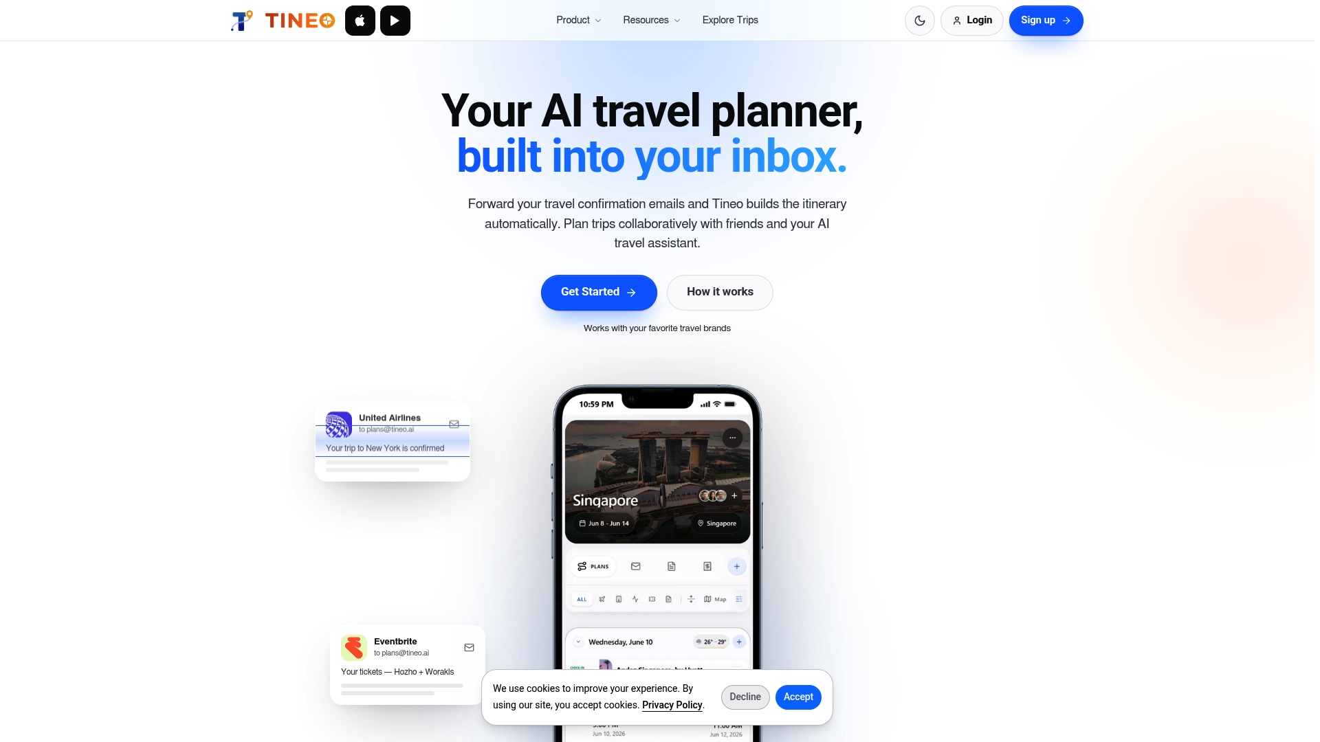
If you want to see how it works, you can start with Tineo and forward your first confirmation. Our posts on the Maps Explorer and its directions show how maps sit alongside your trip details. If you used TripCase, our TripCase replacement guide covers moving your trips.
A sample setup for a three-day park trip
Here is how one group might combine tools. This is an illustration, not a report of a real trip.
Before the trip (at home, on Wi-Fi)
- Install the NPS App and download the full park for offline use.
- Install a trail app and download the map region for the hikes you picked. Test that live location works in airplane mode.
- If you will drive a lot, download the audio guide.
- Forward every confirmation into one shared itinerary and ask each traveler to open it.
On the road
- Use the audio guide on long drives; keep the phone mounted and the volume up.
- Check the NPS App for road or trail closures at the visitor center, where there is often a signal or Wi-Fi.
On the trail
- Switch to airplane mode to save battery once your map is loaded, since GPS keeps working without cell service.
- Carry a power bank and a paper backup.
Privacy, accessibility and other checks
Before you rely on any app, spend two minutes on these points:
- Accessibility. The NPS App includes accessibility tools, such as audio descriptions of exhibits. Look for similar options in any third-party app you plan to use.
- Location permissions. Trail apps need your location. Review what each app collects in its store listing’s privacy section.
- Subscription terms. Some plans auto-renew annually. Set a calendar reminder if you only need the app for one trip.
- Storage. Offline park downloads take space. Clear old ones after your trip.
FAQ
What is the best free national park app?
The official NPS App is the best free starting point. It covers more than 400 parks and lets you download content for offline use. For trail detail, National Park Trail Guide is also free and ad-free.
Do national park apps work without cell service?
Many do, but only after you download content in advance. The NPS App, Chimani, National Park Trail Guide and Just Ahead all describe offline use. Download everything on Wi-Fi before you arrive, then test it in airplane mode.
Which app is best for hiking in national parks?
It depends on the terrain. For marked trails, a trail app with offline maps and live location, such as National Park Trail Guide or AllTrails, is usually enough. For remote or off-trail routes, an app with detailed offline topographic maps, like onX Backcountry, is a better fit.
How do I keep my park reservations organized?
Park apps do not store your bookings, so use an itinerary manager. Forward lodging, rental car, tour and entry confirmations into one shared trip so everyone can see them. Tineo does this from confirmation emails, and the free plan is a reasonable place to start.
Do I need more than one app?
Most visitors do. One app for park information, one for trail navigation if you hike, and one place for your reservations covers nearly every need without clutter.
Sources
- The NPS App, U.S. National Park Service
- Put All 419 U.S. National Parks in Your Pocket with the Chimani App, The Manual
- National Park Trail Guide, Hiking Project
- The best hiking apps in 2026, Live for the Outdoors
- onX Backcountry app
- Just Ahead FAQ
- Parks Canada App
- Kakadu National Park official app